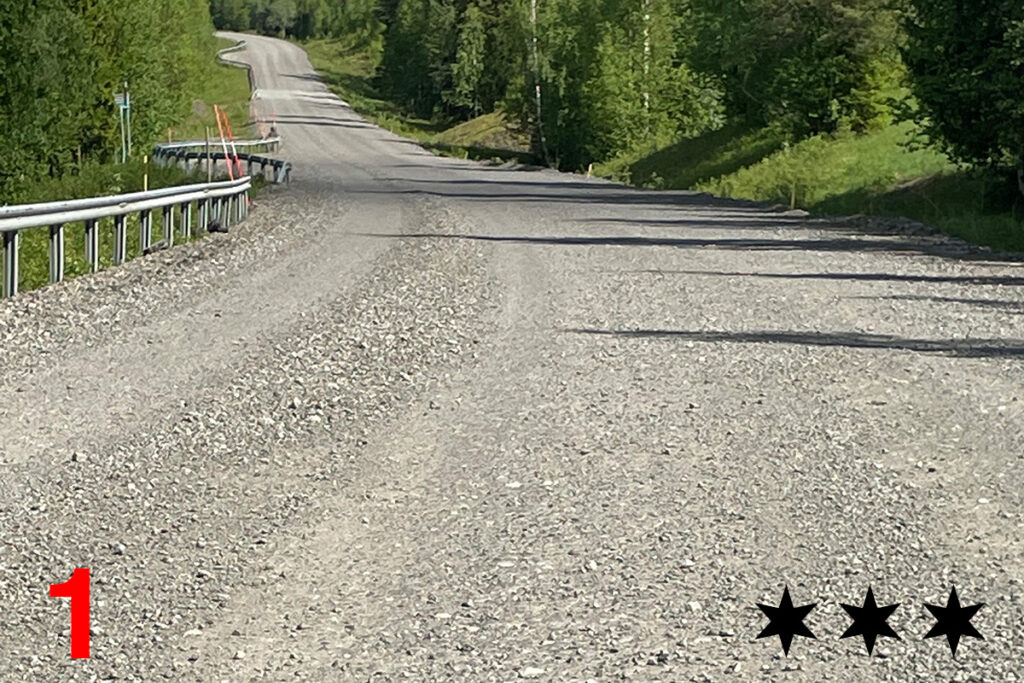
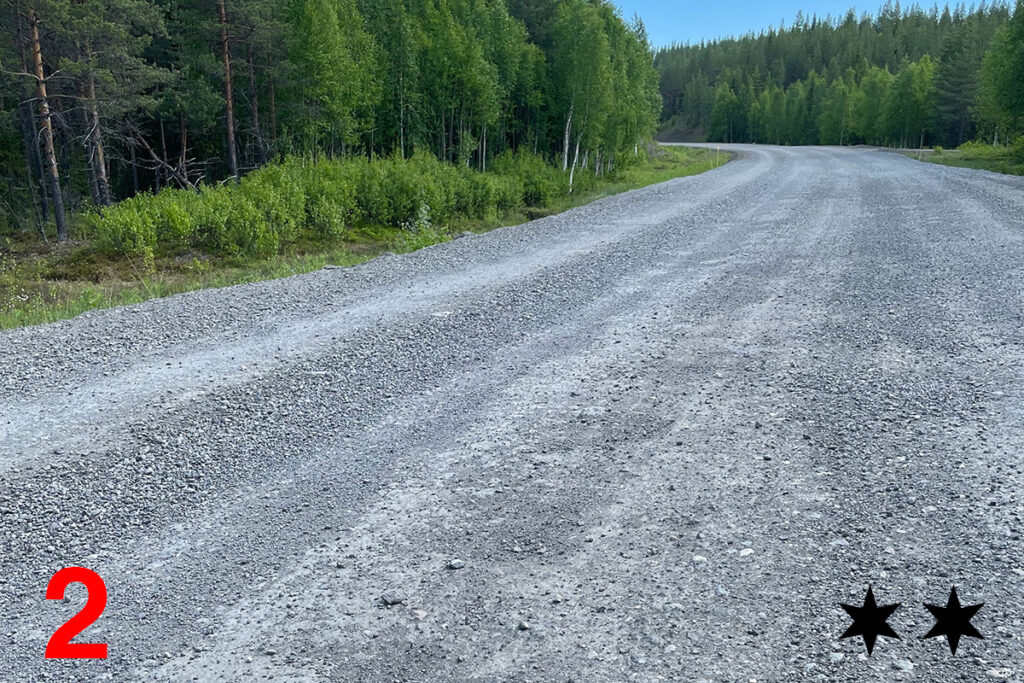
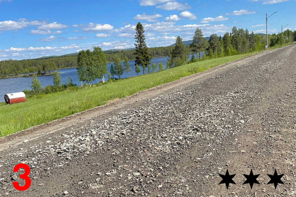
About 30 km after the checkpoint in Storuman there are major roadworks on the E 12 over a distance of 20 km between road 1107 and 1132. On the sections marked in black (see map below) corresponding to a total of 10 km, the asphalt will be completely removed. The road surface on these sections will consist of compacted gravel and macadam, see photos below (no photo for nr 7).
On the 20 th of June, to ensure rider saftey, the speed limit on the segments of roadwork will be reduced from 50 km/h to 30 km/h. Also on the 20th of June, there will be a support vehicle on standby in Storuman in case of mechanical issues and minor injuries that don’t need acute medical attention.
Roadworkers on the E 12 have graded the eight sections according to difficulty, on a scale of 1 to 5, where 5 is a extremely rough surface with loose stones and 1 is a smooth gravel road.
- Mostly smooth gravel surface but some rough sections with loose stones (3).
- Mostly smooth gravel surface but with some rough sections (2).
- Mostly smooth gravel surface but some rough sections with loose stones (3).
- Very rough with loose stones but a shorter section than planned, 400 m not 800 m. (4).
- Mainly a smooth gravel surface with a short section in the beginning with loose stones (2).
- Rough with loose stones. (4).
- Mostly smooth gravel surface but with some rough sections with loose stones. (3).
- Mostly smooth gravel surface but with some rough sections with loose stones (3).

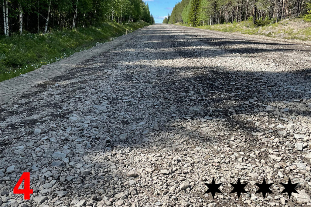
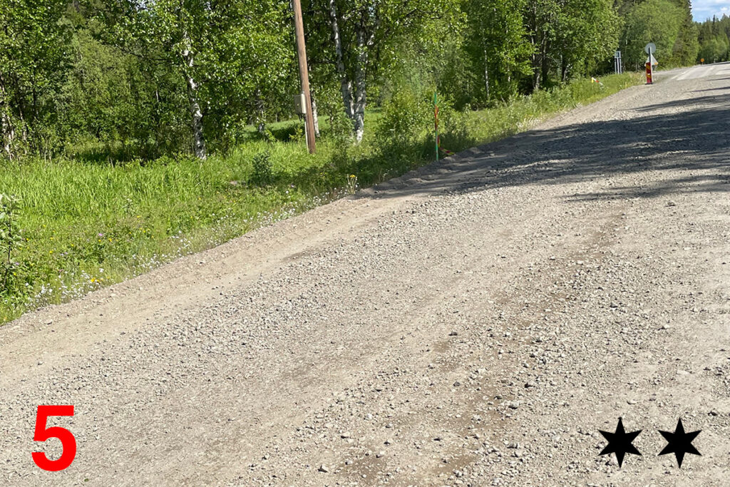
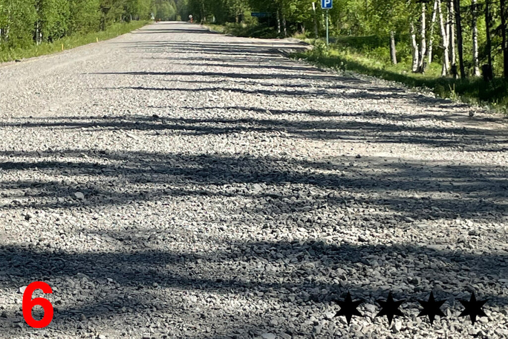
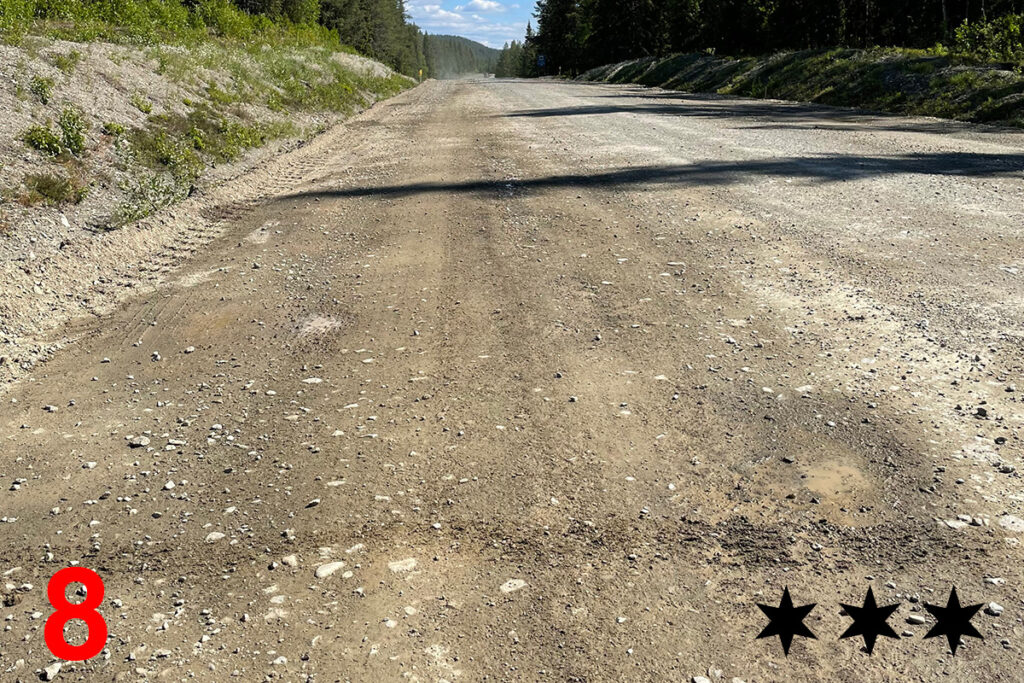
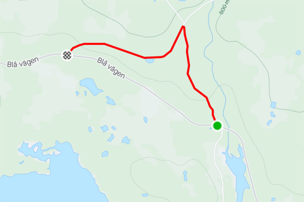
There is a gravel road has just been repaired recently that runs parallel to almost the whole of the last section of roadworks, 4,5 km. This gravel road is said to be a much better alternative than the E12 but the drawback is that the detour starts with a steep climb of about 120 m over 2,5 km.
If you have sturdy bike wheels or walking shoes you might still prefere to take your chances on the E12 but if you have carbon fibre rims an extra uphill climb might be more preferable. The detour adds 1,8 km to the route but you will escape roughly half of the roadworks (also there is a nice view from the top of the hill). See detour route on Strava.
